
Real estate, maritime operations, and atmospheric risk: we turn satellite observation and edge computer vision into verifiable compliance evidence, not just alerts.
Satellite observation for the wider picture. Edge intelligence for what is happening in real time.
Why it matters
The signal is always there. The problem is reading it clearly enough to act.
Physical environments carry risk that is rarely visible without the right tools. Before capital is committed, before an incident escalates, and before a site is assessed without the full picture, Effix turns signals into decisions.
Our portfolio
Three environments. Two signal modes. One framework for turning satellite and AI observation into evidence regulators and inspectors can act on.

Acquisition, Redevelopment & ESG Compliance
Satellite signal layer
Real estate investors, developers and lenders use PropVeritas to assess contamination risk, flood exposure and development viability before capital is committed. The same satellite evidence then prices a retrofit-vs-rebuild decision and proves EU Taxonomy, SFDR and MEES/EPBD compliance once the asset is owned.
Learn More
Satellite & AI Compliance for Maritime Operations
MARPOL · PSC · SIRE
VeriTide pairs satellite observation with onboard computer vision to generate inspection-ready evidence for MARPOL, PSC, and SIRE, matching each framework to the sensor that can actually see it.
Learn More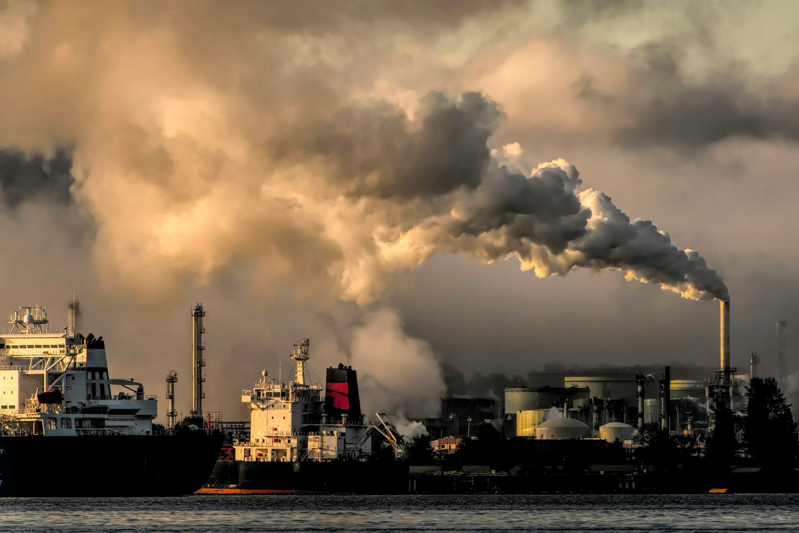
Atmospheric Intelligence from Satellite
Atmospheric risk
AeroTraq profiles atmospheric exposure at a site using satellite data, helping teams quantify pollution, emissions and historical change before a decision is made.
Learn MoreWhy Effix
The signal is always there. What is missing is infrastructure that reads it clearly enough to act before the risk becomes visible.
We start with the action: what should you do next, what is the evidence, and what level of confidence is attached?
Satellite intelligence reads the wider environment. Edge intelligence monitors real-time site conditions. They are designed for different decision points.
Our platforms are built for investment, compliance, operational resilience and site readiness, where accountability matters as much as detection.
Who we serve
From capital decisions to live operational monitoring, we support teams that cannot afford blind spots.
Risk before capital is committed.
Portfolio screening with evidence.
Live risk detection at the site edge.
Monitoring and reporting with precision.
Signal modes
One broad view from orbit. One real-time view at the edge. Together they give operational teams better decisions.
Satellite earth observation provides a persistent, historical view of land, atmosphere and environmental change. It is best suited to early issue detection, due diligence and risk mapping before the site is selected or the exposure is visible.
Edge AI processes live sensor and camera feeds on site, enabling anomaly detection, classification and event logging without relying on slow or limited cloud workflows.
Critical signals in land acquisition, atmospheric risk and live industrial operations are rarely visible without the right tools. Effix reads them (satellite earth observation for land and atmospheric conditions, edge computer vision for live operational events) and translates them into clear, cited decisions. One decision framework, three products, each matched to where its risk actually lives.
Built within the European Space Agency Business Incubation Centre at Noordwijk, Netherlands. Three modules on one satellite evidence base, from the first screen to long after the asset is owned.
ESA satellite signals (contamination, flood, terrain, soil, reclaimed land), geotech data and a development feasibility model, resolving to a Go, Caution or No-Go verdict.
EU Taxonomy alignment and SFDR PAI indicators screened against government registries, plus MEES and EPBD deadline exposure mapped to each asset's actual EPC rating.
Retrofit priced against rebuild using real embodied-carbon and asbestos-abatement costs, weighed against heritage and subsidence blockers.
Whether you are acquiring a site, assessing atmospheric exposure or monitoring live operations, our platforms read the signals and tell you what to do before the risk becomes visible.